منځپانګې ته ورتېرېدل

موضوع

ځایونه

درې، ښارونه، د غرونو لارې او سیندونه.

دا پاڼه لا په پښتو نه ده. لاندې متن په انګلیسي دی. د ژباړې مرسته وکړئ

118 ځایونه په نقشه کې · 24 لیکنې

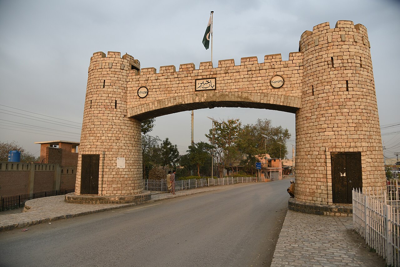
Bab-e-Khyber stone gateway near the entrance to the Khyber Pass

د ځایونه له کومې لیکنې پیل وکړئ

Men in shalwar kameez and turbans walking along a bazaar street in Zhob, with fruit stalls, shops and a white minaret under a blue sky.

جغرافیه

انګلیسي

The Gomal pass, the Zhob valley and the powinda road

Each autumn the powinda Ghilzai came down the Gomal and Zhob passes to the Indus plain and went home in spring; the trade ended with the loss of the Indian markets in 1947 and the border closure after 1961.

Scattered houses and fields on the hillsides of a wide mountain valley under a pale sky.

جغرافیه

انګلیسي

Tirah and the Bara valley: Afridi and Orakzai highlands

Tirah is the Afridi and Orakzai highland between the Khyber and Kurram, and the Bara river runs from it to Peshawar. A British army invaded it in 1897; its people were displaced again in 2025 and 2026.

A high mountain ridge with pine forest

جغرافیه

انګلیسي

Waziristan: mountains, valleys and towns

Waziristan is the hill country between the Tochi and the Gomal, home of the Wazir, Mahsud and Daur and of the Ormur of Kaniguram. It fought British garrisons in 1919-20 and 1936-47, and its people were displaced by operations in 2009 and 2014.

د ځایونه لیکنې، په الفبايي ترتیب