ځایونه
Places
The Khyber Pass: landscape and connections
The geography of a route linking the Peshawar and Kabul regions, and its place in the history of movement through Pashtun lands.
Published 7 October 20261 source

On this page
A passage through the mountains
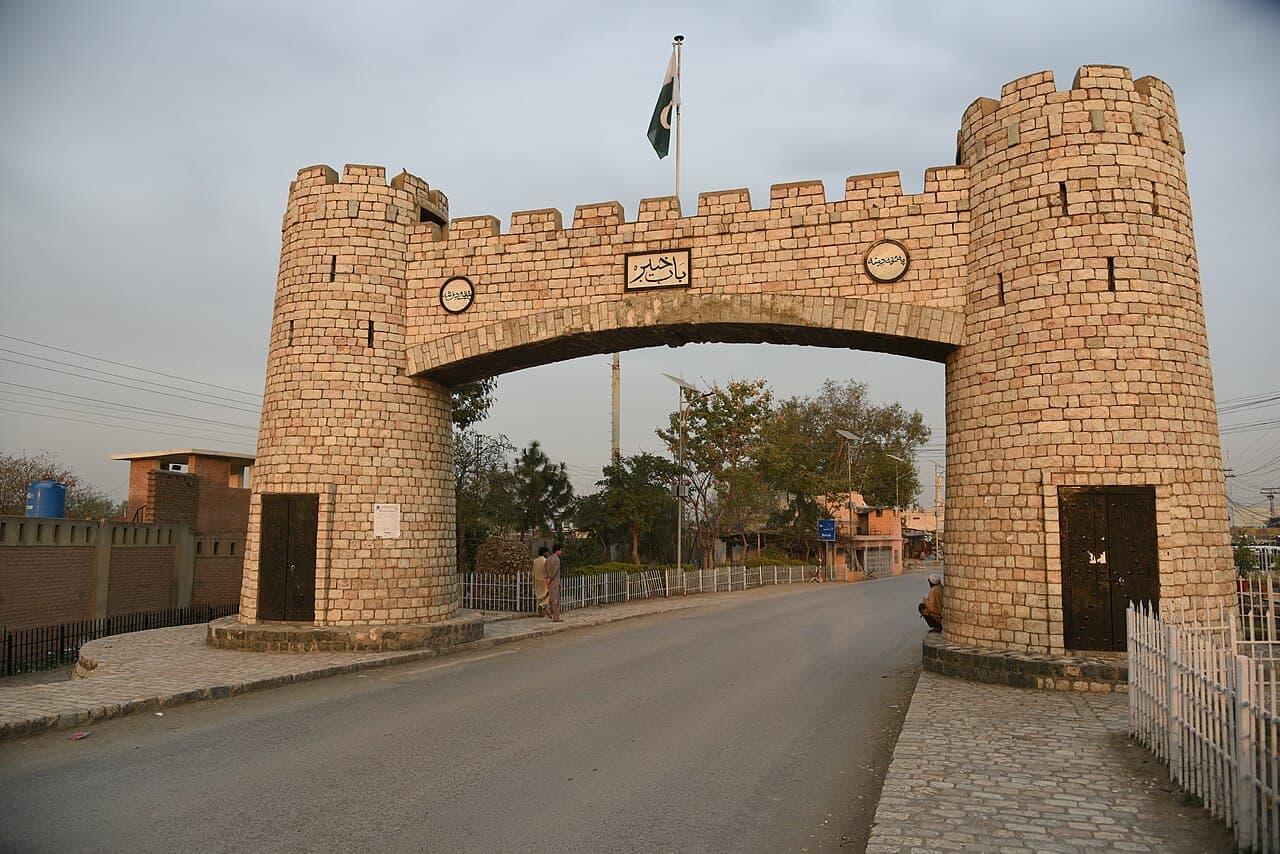
The Khyber Pass runs through the Khyber Range, part of the Spin Ghar or Safed Koh mountain system. It connects the Peshawar region with routes toward Jalalabad and Kabul. Most of the pass lies in Pakistan, while its western section extends into Afghanistan. [1]
Places along the route
Jamrud marks the eastern approach. Ali Masjid lies in a narrow gorge farther along the route, and Landi Kotal is its highest point. Torkham marks the Afghanistan-Pakistan crossing. Beyond it, the route opens toward Mohmand Darra and the Kabul River valley. Afridi and Shinwari communities are important to the area's local geography. [1]
More than an invasion route
The pass has carried goods, travellers, and ideas as well as armies. Nineteenth-century British accounts often emphasized its military importance as a frontier of their Indian possessions. That perspective is only one part of its history: local communities, markets, and connections between valleys also matter. This entry describes geography and history, not current border access or travel conditions. [1]
Sources
- Andreas Wilde — Khyber Pass, Encyclopaedia Iranica
Geography and historical interpretations, published 2022. Consulted 7 October 2026; current travel or crossing information is not inferred.
Spotted an error or a missing source? Read how we make corrections